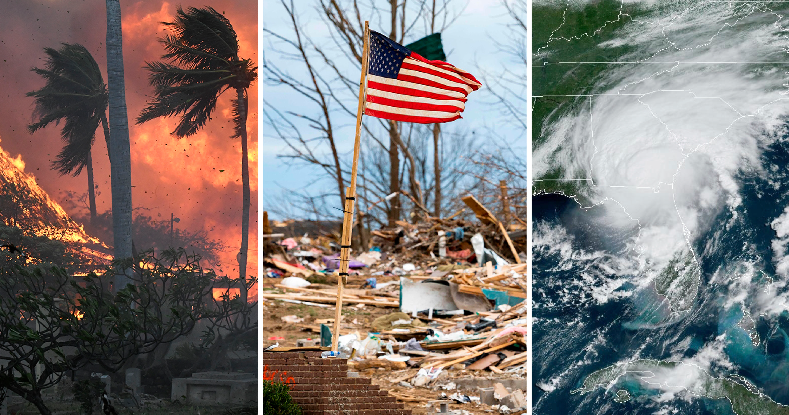
Wildfires are a growing threat in many parts of the world, especially in fire-prone regions like California, Australia, and the Mediterranean. As climate change intensifies, so does the frequency and severity of these blazes. But how do scientists and geologists predict where fires will occur and how they will spread?
Understanding and mapping wildfire risk is crucial for saving lives, protecting property, and improving fire response strategies. Scientists rely on advanced technology, geological data, and climate models to forecast fire behavior. This article explores how wildfire risk is mapped and the role geologists play in predicting fire outbreaks.
Why Mapping Wildfire Risk Matters
Mapping wildfire risk is essential for several reasons:
🔥 Protecting Communities: Identifying high-risk zones helps local governments enforce fire-safe building codes and evacuation plans.
🌿 Preserving Ecosystems: Fires can be beneficial for certain environments, but uncontrolled blazes can devastate forests, wildlife, and water sources.
🏠 Reducing Property Damage: Homeowners in wildfire-prone areas can take preventive measures if they know their level of risk.
🚒 Enhancing Firefighting Strategies: Fire departments use wildfire maps to allocate resources effectively and plan containment efforts.
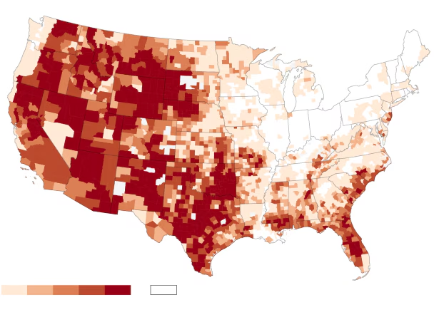
By analyzing environmental factors, scientists can create highly detailed wildfire risk maps that predict where fires are most likely to start and how they may behave.
Key Factors in Wildfire Risk Mapping
Predicting wildfire behavior is a complex process involving multiple factors. Identification and Characterization of Forest Fire Risk Zones Leveraging Machine Learning Methods Scientists analyze a combination of geological, climatic, and human-related elements to assess fire risk levels.
1. Vegetation and Fuel Load 🌲🔥
One of the biggest drivers of wildfires is the availability of fuel—primarily dry vegetation. Dense forests, grasslands, and shrublands act as fuel sources, and their moisture content plays a critical role in fire behavior.
- Dry, dead trees and leaves ignite more easily.
- High fuel loads lead to faster-spreading and more intense fires.
- Scientists use satellite imagery to assess fuel conditions and identify areas with excessive vegetation buildup.
2. Topography and Landforms 🏔️🔥
The shape of the land significantly impacts how fires spread. Geologists analyze:
- Elevation: Fires tend to spread more quickly uphill due to rising heat.
- Slope Steepness: Steeper slopes allow fires to accelerate as flames preheat fuel ahead of them.
- Canyons and Valleys: Wind funnels through valleys, increasing fire intensity.
Using digital elevation models (DEMs) and LiDAR technology, geologists create 3D terrain maps that help predict fire movement patterns.
3. Weather and Climate Conditions 🌡️💨
Weather plays a crucial role in wildfire risk assessment. Scientists monitor:
- Temperature: Higher temperatures dry out vegetation, making it more flammable.
- Wind Speed and Direction: Strong winds push flames forward, spreading fires rapidly.
- Humidity Levels: Low humidity accelerates the drying of vegetation, increasing fire risk.
- Lightning Strikes: A major natural ignition source for wildfires.
Climate models help scientists anticipate long-term fire trends, especially in regions experiencing prolonged droughts or heatwaves.
4. Historical Wildfire Data 📜🔥
Studying past wildfires helps predict future ones. Scientists analyze:
- Areas with frequent fire occurrences.
- The causes and behavior of past wildfires.
- The effectiveness of previous firefighting and containment efforts.
By mapping historical wildfire data, researchers can identify fire-prone zones and adjust fire management strategies accordingly.
5. Human Activities and Urban Expansion 🏡🚧
Humans contribute significantly to wildfire risks through:
- Uncontrolled Campfires: Poorly managed outdoor fires can quickly spread.
- Power Lines: Electrical sparks from damaged power lines have ignited devastating wildfires.
- Land Development: Expanding urban areas into fire-prone regions increases fire risk.
Scientists use geographic information systems (GIS) to analyze human impact on wildfire risks and develop mitigation strategies.
How Scientists Map Wildfire Risk

1. Satellite and Remote Sensing Technology 🛰️🔥
Satellite imagery is crucial for tracking and predicting wildfires. Agencies like NASA and NOAA use:
- MODIS and VIIRS Sensors: Detect active fires and measure burn severity.
- Landsat Satellites: Provide high-resolution imagery to monitor vegetation and terrain changes.
- Infrared Sensors: Identify heat signatures and fire intensity levels.
These tools help scientists track wildfire patterns and update risk maps in real-time.
2. Geographic Information Systems (GIS) and AI Modeling 🗺️🤖
GIS technology allows scientists to overlay different data layers, such as:
- Vegetation density
- Weather patterns
- Historical fire locations
- Human activity zones
Artificial Intelligence (AI) models process these layers to generate predictive fire behavior simulations, improving the accuracy of risk assessments.
3. Ground-Based Monitoring Stations 🌍📡
Scientists use weather stations and remote sensors to collect real-time data on:
- Wind speeds and humidity levels.
- Soil moisture and drought conditions.
- Air quality and smoke dispersion patterns.
This ground data is integrated into wildfire prediction models for more precise forecasting.
Improving Wildfire Preparedness and Prevention
Wildfire mapping not only helps in forecasting but also in preventing large-scale disasters. Beyond the Blaze: Can We Stop Mega Wildfires? The Future of Fire Management in California – GIS Valley Authorities use these maps to:
🔥 Implement Firebreaks: Clearing vegetation in strategic locations to slow fire spread.
🏠 Guide Urban Planning: Restricting development in high-risk fire zones.
🚨 Issue Early Warnings: Alerting residents in fire-prone areas before wildfires escalate.
🌿 Promote Controlled Burns: Reducing excess vegetation in a controlled manner to minimize future wildfire fuel.
By investing in advanced mapping technologies and fire prevention programs, communities can better prepare for and mitigate wildfire risks.
Conclusion: The Future of Wildfire Prediction
As wildfires become more frequent and intense, mapping wildfire risk is more critical than ever. Scientists, geologists, and fire agencies continue to develop new tools and techniques to predict and manage fire behavior more effectively.
From satellite imagery to AI modeling and real-time weather tracking, wildfire risk assessment is evolving rapidly. By leveraging these technologies, we can enhance fire preparedness, protect lives, and safeguard ecosystems from devastating blazes.
Key Takeaways: ✅ Vegetation, topography, weather, and human activity all influence wildfire risk. ✅ Satellite imaging and GIS technology play a crucial role in wildfire mapping. ✅ AI and predictive modeling improve fire behavior forecasts. ✅ Proactive wildfire mapping leads to better urban planning and fire prevention.
As we move forward, continued advancements in wildfire risk mapping will be essential for adapting to our changing climate and minimizing the impact of wildfires worldwide.


