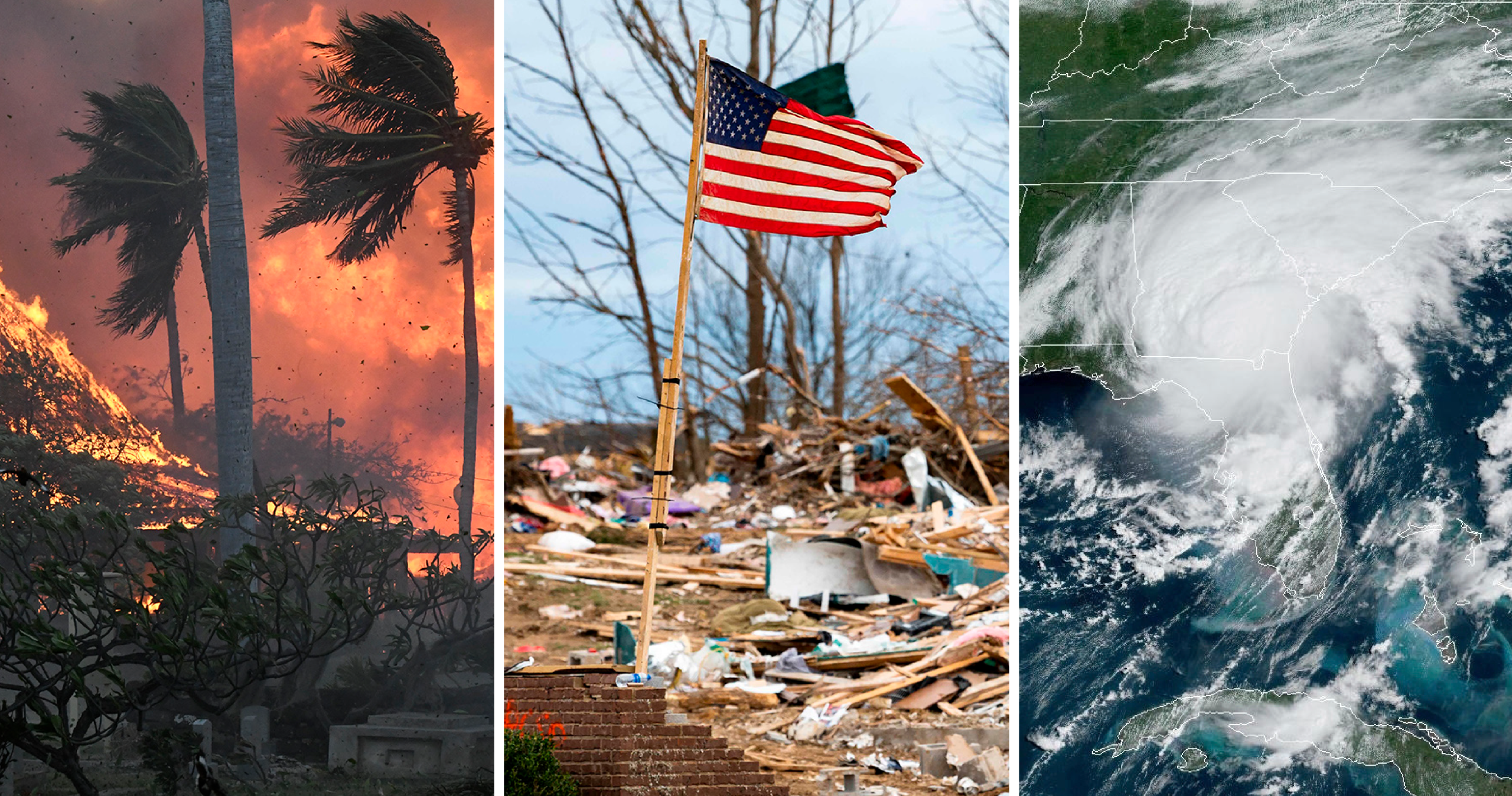
Geologic hazards—such as earthquakes, landslides, volcanic eruptions, tsunamis, and sinkholes—pose significant risks to human life, infrastructure, and ecosystems. Understanding these hazards is crucial for disaster preparedness and mitigation. Geologists play a key role in identifying, analyzing, and predicting geologic threats using specialized tools, techniques, and scientific models.
This article explores how geologists study geologic hazards, the cutting-edge tools they use, and the methods they employ to predict and mitigate disasters.
Understanding Geologic Hazards
Geologic hazards originate from natural Earth processes, including tectonic movements, erosion, and volcanic activity. Studying these hazards helps scientists:
- Identify high-risk areas before disasters occur.
- Develop hazard maps for urban planning and emergency response.
- Improve early warning systems to save lives and minimize damage.
Geologists rely on field investigations, remote sensing, laboratory testing, and computer models to analyze these hazards effectively.
Key Tools Used by Geologists to Study Hazards
1. Seismometers and GPS for Earthquake Monitoring
- Seismometers detect ground motion and measure earthquake intensity.
- GPS technology tracks ground deformation, helping predict seismic activity.
- Networks of seismic stations (such as the USGS Earthquake Monitoring Network) provide real-time data on earthquakes worldwide.
2. LiDAR (Light Detection and Ranging) for Landslide Analysis
- Uses laser pulses to create high-resolution topographic maps.
- Detects subtle ground changes that indicate landslide-prone areas.
- Helps engineers design safer infrastructure and slope stabilization measures.
3. Satellite Imagery and Remote Sensing
- Provides large-scale data on earthquakes, volcanic eruptions, and tsunamis.
- Detects ground deformation, heat anomalies, and vegetation changes before disasters occur.
- Used by organizations like NASA and NOAA for global hazard assessment.
4. Ground Penetrating Radar (GPR) for Sinkhole Detection
- Sends radio waves underground to detect hidden voids.
- Essential for identifying unstable ground in urban areas.
- Used in Florida and other sinkhole-prone regions to assess risks.
5. Volcanic Gas Sensors and Thermal Cameras
- Monitor gas emissions (like sulfur dioxide) from active volcanoes.
- Thermal cameras detect rising magma temperatures, signaling possible eruptions.
- Used in Hawai’i, Alaska, and the Pacific Northwest for volcano surveillance.
Geological Techniques for Studying Hazards
1. Field Surveys and Rock Analysis
- Geologists examine fault lines, rock formations, and soil conditions.
- Identifies weak zones that could trigger landslides or earthquakes.
- Helps assess risks in urban development and mining operations.
2. Historical Data and Paleoseismology
- Studies ancient earthquake records in rock layers and sediments.
- Helps determine long-term seismic patterns and recurrence intervals.
- Provides insight into future earthquake risks in tectonically active regions.
3. Tsunami Modeling and Ocean Floor Mapping
- Uses underwater sensors and sonar technology to map seabed movements.
- Simulates how tsunamis propagate across oceans.
- Improves early warning systems in coastal areas like California and Hawai’i.
4. Volcanic Hazard Zoning
- Maps danger zones around active volcanoes based on past eruptions.
- Identifies areas vulnerable to lava flows, ash fall, and pyroclastic surges.
- Helps governments enforce evacuation plans and land-use restrictions.
5. Artificial Intelligence (AI) and Machine Learning
- Processes vast amounts of geological data to detect hazard patterns.
- AI-driven models improve earthquake and landslide predictions.
- Enhances real-time hazard monitoring with automated data analysis.
Predicting Geologic Hazards
While geologists cannot prevent natural disasters, they work to predict and mitigate their impact using scientific methods.
1. Earthquake Prediction and Early Warning Systems
- Short-term prediction is difficult, but seismic activity trends offer clues.
- The ShakeAlert system (West Coast USA) sends real-time earthquake warnings.
- GPS monitoring helps detect fault line movement before major quakes.
2. Landslide Risk Assessment
- Analyzing rainfall patterns, slope stability, and soil moisture predicts landslides.
- Early warning alerts allow communities to evacuate before slope failures.
- Involves ongoing monitoring of unstable hillsides in high-risk areas.
3. Volcano Eruption Forecasting
- Studying magma movement, gas emissions, and earthquake swarms helps predict eruptions.
- The USGS Volcano Hazards Program tracks active volcanoes in real time.
- Timely warnings allow governments to prepare evacuation plans.
4. Tsunami Early Warning Systems
- Buoys and ocean sensors detect seismic disturbances that could trigger tsunamis.
- Data is sent to NOAA’s Tsunami Warning Centers for rapid response.
- Coastal sirens and mobile alerts warn communities of incoming waves.
5. Predicting Sinkhole Formation
- Monitoring groundwater levels and underground erosion helps detect potential sinkholes.
- GPR and LiDAR scans identify unstable areas before collapses occur.
- Authorities restrict construction and heavy traffic in sinkhole-prone zones.
The Importance of Geologic Hazard Studies
Studying geologic hazards is essential for disaster preparedness, risk reduction, and infrastructure safety. Key benefits include:
- Protecting human lives by improving hazard awareness and evacuation plans.
- Reducing economic losses by implementing safety measures in high-risk areas.
- Enhancing construction safety with proper geological assessments before building.
- Guiding environmental policies to prevent land degradation and resource depletion.
Geologists work alongside engineers, government agencies, and emergency responders to create a safer and more resilient society.
Final Thoughts
Geologic hazards pose significant challenges, but advancements in scientific research, monitoring technologies, and predictive models allow us to better understand and prepare for these events. From earthquake detection systems to tsunami forecasting and AI-driven hazard models, geologists continue to develop innovative ways to mitigate risks.
By investing in hazard research, infrastructure resilience, and public awareness programs, societies can reduce the devastating impact of natural disasters and create a more secure future.


